Tracing the affection and respect of residents for Takeda Shingen
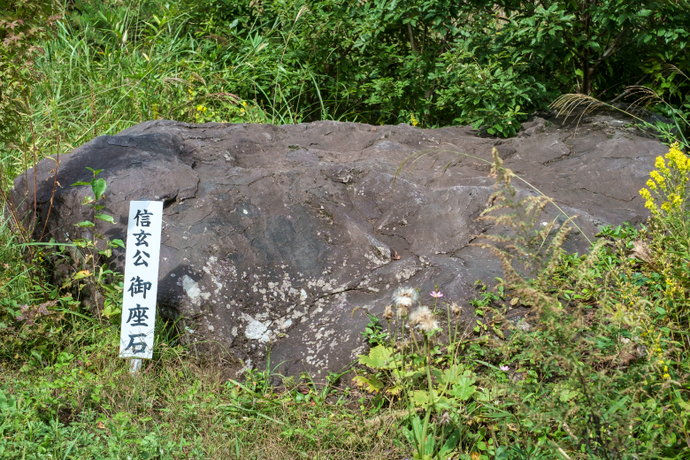
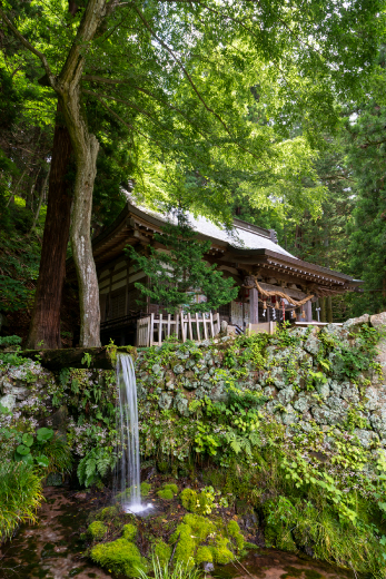
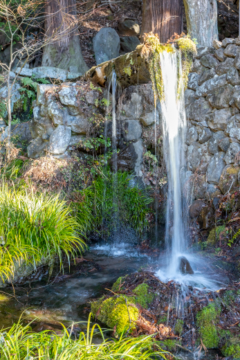
There are many springs at the foot of Mount Yatsugatake that served as precious sources of water for the people living in the area. Unfortunately, however, they also caused landslides, called On-dashi, that caused significant damage to the area. Around Bomichi road, springs, systems to share the spring water, and traces of landslides, including huge rocks, remain.
Distance : About 11km / Required Time : About 5 Hours / On foot
Starting point : Kai Koizumi Station
Goal point : Wakamiko-jo Castle Ruins
COURSE MAP
Starting point
Goal point
Parking lot
Toilet
Tap the spot you want to read about!
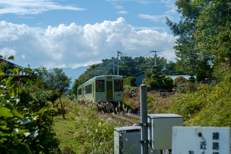
- 01Kai Koizumi Station
- 0.2km / 6 on foot Minutes
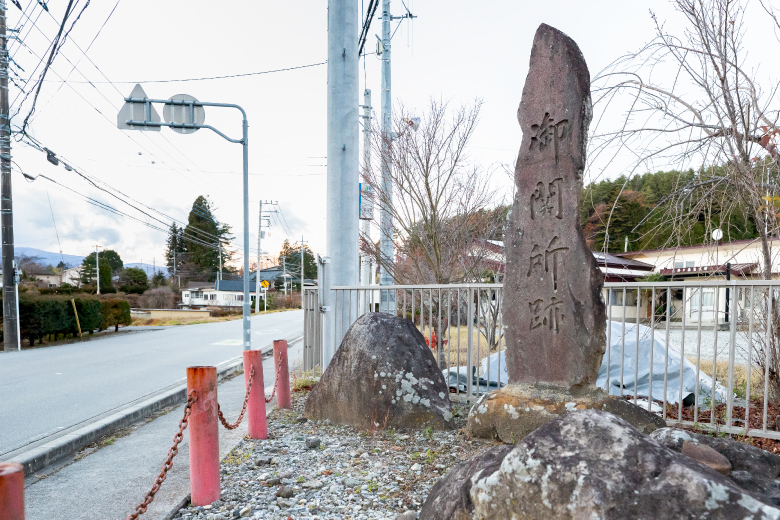
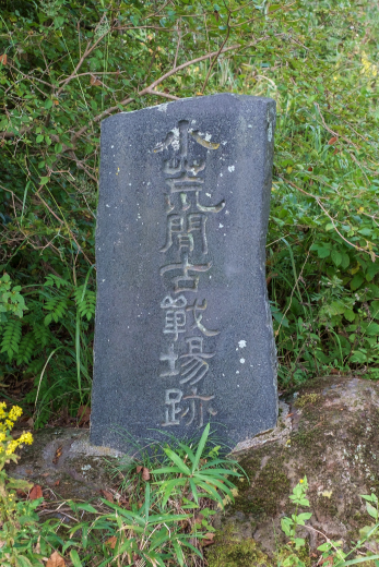
- 02Koarama Battlefield Ruins
- 0.6km / 17 on foot Minutes
- 03Hossho-ji Temple
- 0.4km / 11 on foot Minutes
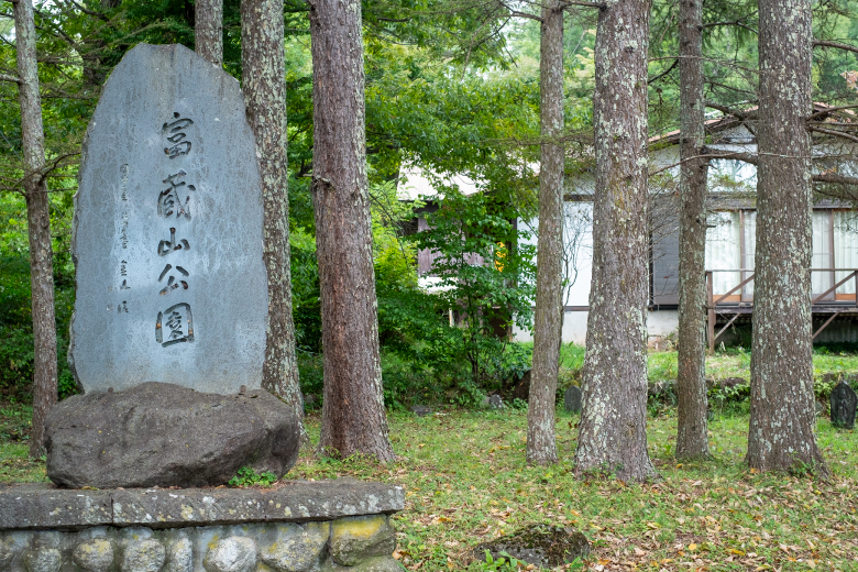
- 04Tokurayama-koen Park
- 0.5km / 15 on foot Minutes
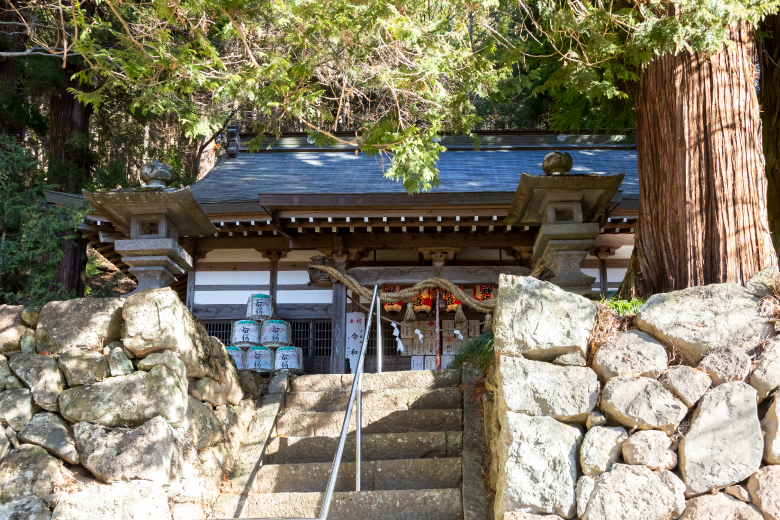
- 05Rokusho-jinja Shrine
- 0.8km / 25 on foot Minutes
- 06Sanbuichi Spring Museum
- 1.3km / 39 on foot Minutes
- 07Yachimata Monument
- 1.9km / 57 on foot Minutes
- 08Kizanko Monument
- 1.3km / 39 on foot Minutes
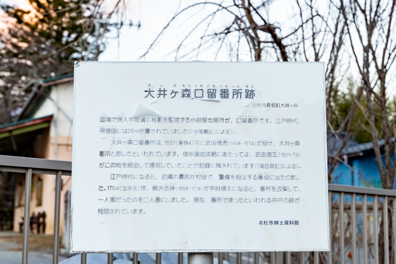
- 09Ruins of Oigamori Bansho Guard Station
- 2.2km / 66 on foot Minutes
- 10Otaki-jinja Shrine
- 0.9km / 20 on foot Minutes
- 11Gosaro-no-hi (Five-way Intersection Monument)
- 0.8km / 20 on foot Minutes
- 12Hashikuyo-no-hi (Bridge Memorial Monument)
- 0.6km / 12 on foot Minutes
- 13Kobuchizawa Station
