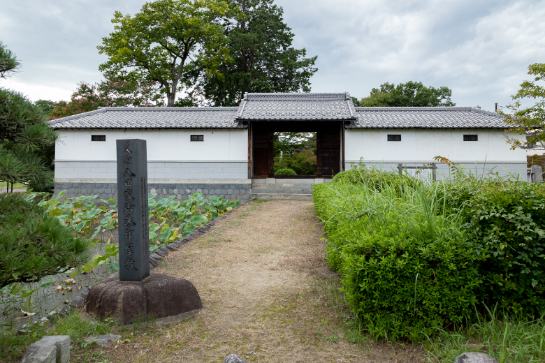
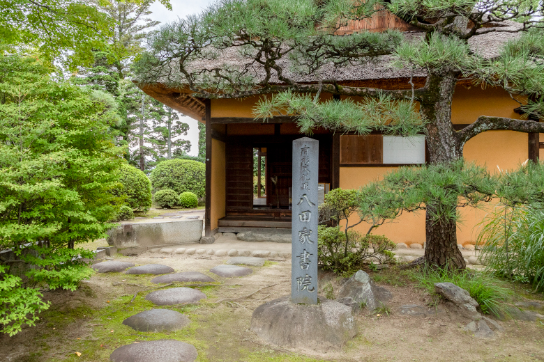
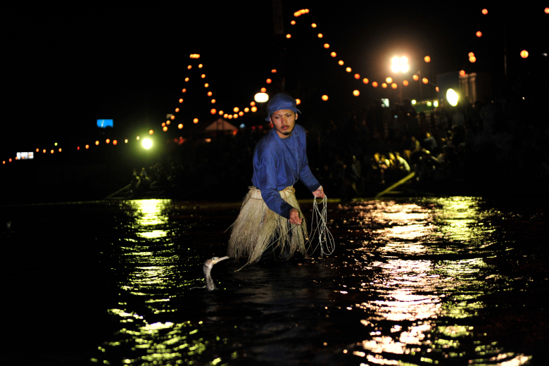
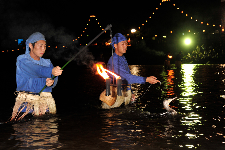
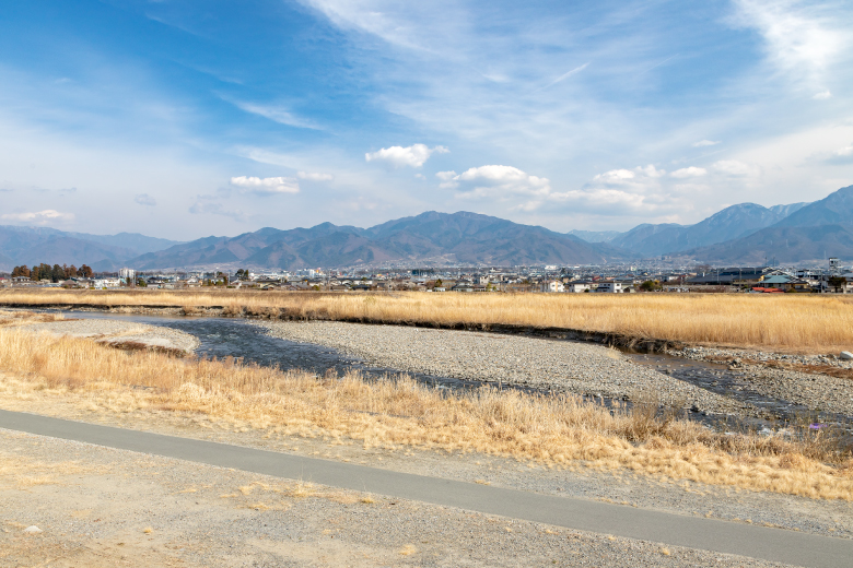
Isawa-shuku was at a junction of the Kamakura-kaido Road, stretching toward the south, and the road to Ichikawa (Ichikawa-michi) stretching toward the southwest. It also had a landing for access to Fujikawa river transport via the Fuefuki River, and functioned as a key point for transportation in the eastern part of the Koshu Basin. In the Edo Period, when the old Koshu-kaido Road was built, the center of politics and economy shifted to Kofu; however, the Hatta Family Shoin (drawing room) and many other historic buildings remaining from the early Edo Period evoke the atmosphere of the time. Because this area was located on the low land between the Fuefuki River and the Isawa River, it was repeatedly damaged by floods, and covered with earth and sand. The present-day Fuefuki River, which was called the Ukai River before being flooded many times, caused damage to people and changed the town significantly. The Fuefuki River was named after a tragedy caused by a flood. The tragedy and another story related in a Noh song called Ukai, meaning cormorant fishing, are interesting and worth learning about. A walking path along present-day Fuefuki River provides a distant view of a few beautifully formed alluvial fans created by river water flowing into the Kofu Basin, and the channels running through mountain ranges in the surrounding area.
Distance : 7km / Required Time : 3h / walk, bicycle
Starting point : Hatta Goshuin Park Parking lot
Goal point : Hatta Goshuin Park Parking lot
COURSE MAP
 Starting point
 Goal point
 Parking lot
 Toilet
Tap the spot you want to read about!
- 01Hatta Goshuin Park Parking lot
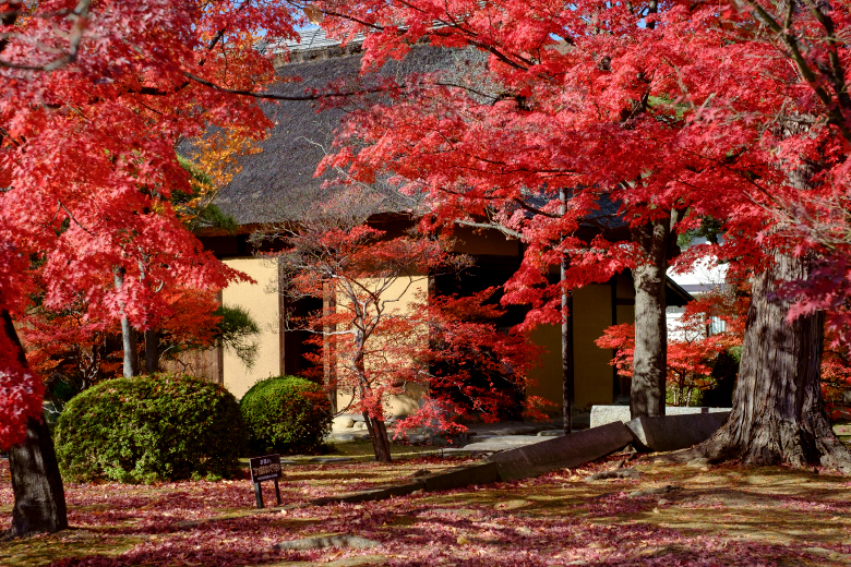
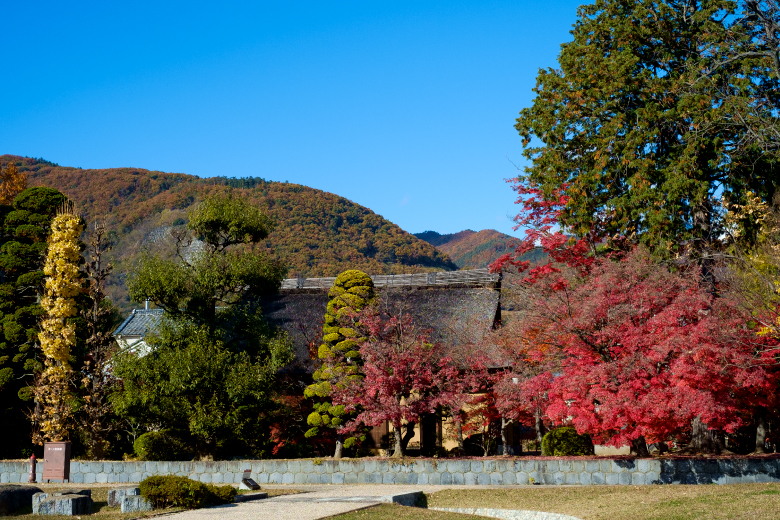
- 02Hatta Family Shoin (Drawing Room)
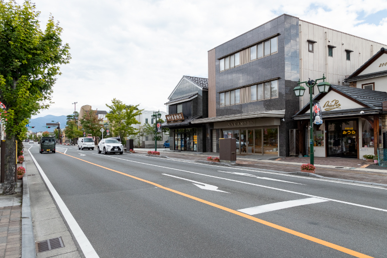
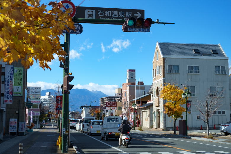
- 03Sakura Onsen Street
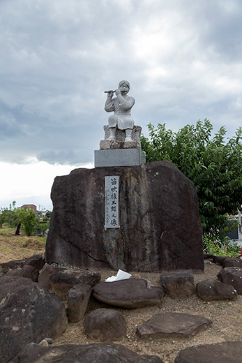
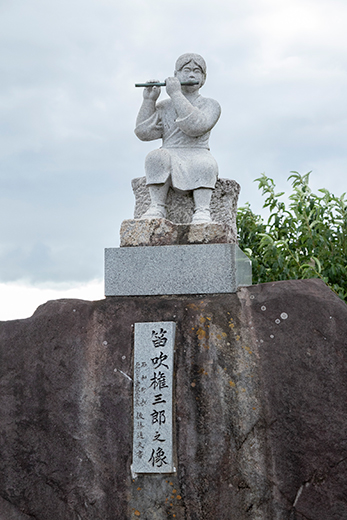
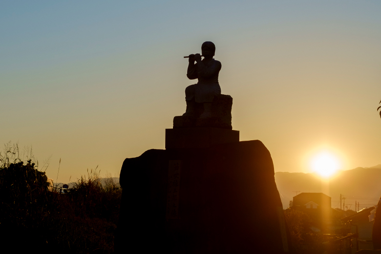
- 04Statue of Fuefuki Gonzaburo
- 05Seen the Alluvial Fan from Fuefuki River
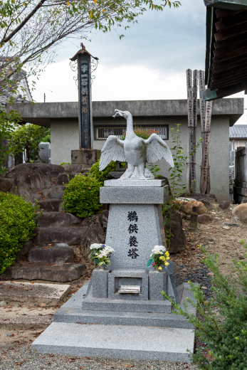
- 06Isawa Cormorant Fishing in the Fuefuki River
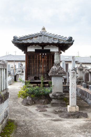
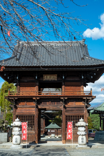
- 07Kannon-ji Temple
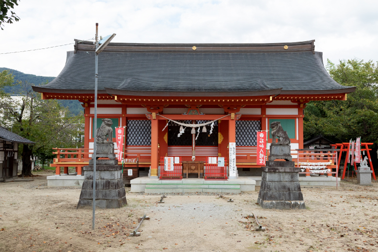
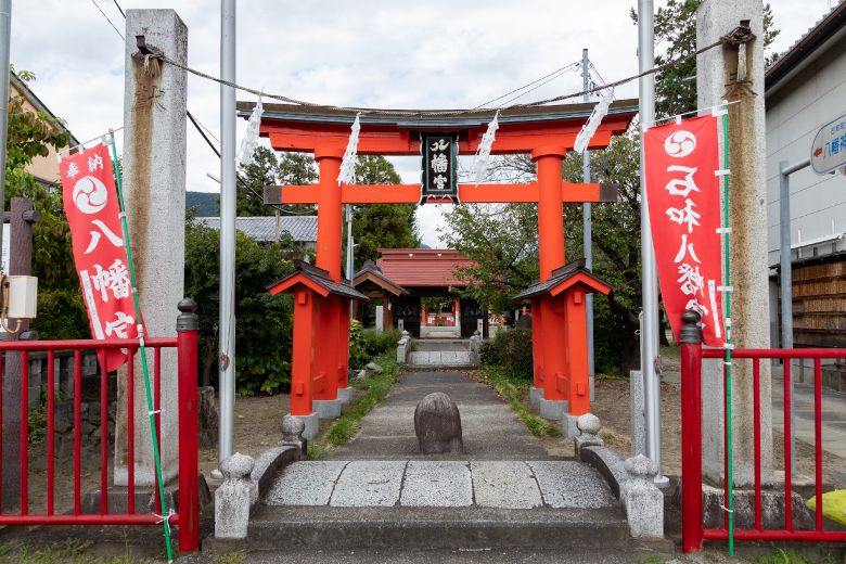
- 08Isawa Hachiman-gu Shrine
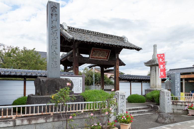
- 09Butta-ji Temlpe
- 10Kobayashi park
- 11Iwasa-Juku
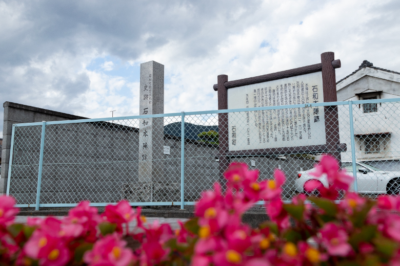
- 12Site of the Main Lodging (Honjin) in Isawa-Juku
- 13Onmyo-ji Temple
- 14Hatta Goshuin Park Parking lot