Strolling along a part of Bomichi road thought to have been developed by Takeda Shingen as a military road
There are many springs at the foot of Mount Yatsugatake that served as precious sources of water for the people living in the area. Unfortunately, however, they also caused landslides, called On-dashi, that caused significant damage to the area. Around Bomichi road, springs, systems to share the spring water, and traces of landslides, including huge rocks, remain.
Distance : About 8.5km / Required Time : About 4.5 Hours / On foot
Starting point : Kai Koizumi Station
Goal point : Kobuchizawa Station
COURSE MAP
Starting point
Goal point
Parking lot
Toilet
Tap the spot you want to read about!
- 01Kobuchizawa Station
- 3.4km / 102 on foot Minutes
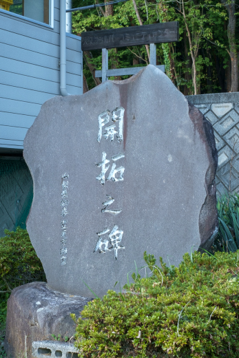
- 02Kaitaku Monument
- 0.8km / 25 on foot Minutes
- 03Remains of the fire watchtower
- 0.6km / 18 on foot Minutes
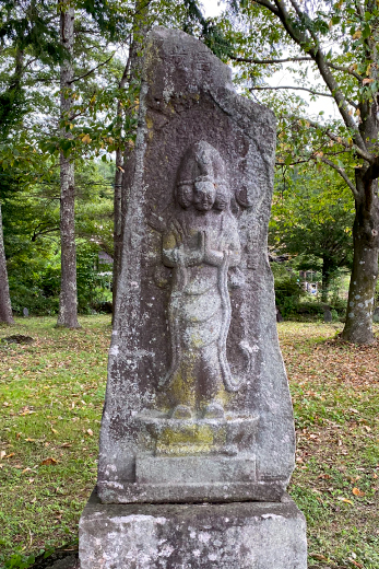
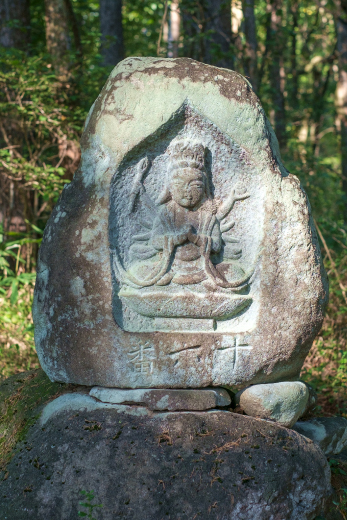
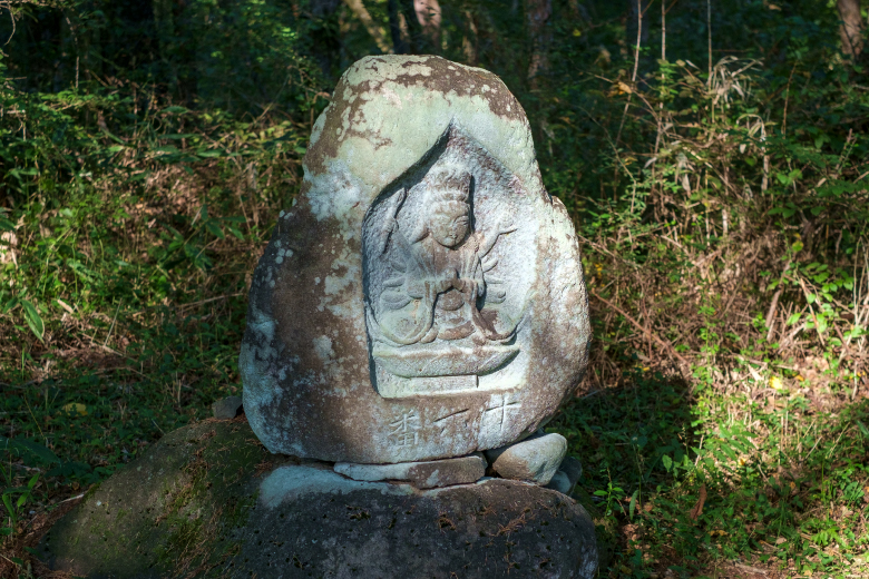
- 04Bando number 16 Senju Kannon
- 1.6km / 48 on foot Minutes
- 05The Bando Sanjusankasho (33) pilgrimage temples begin here
- 0.1km / 3 on foot Minutes
- 06The Saigoku Sanjusankasho (33) pilgrimage temples begin here
- 0.5km / 16 on foot Minutes
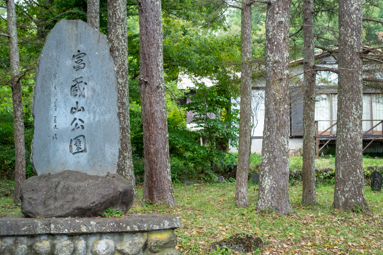
- 07Tokurayama-koen Park
- 0.5km / 14 on foot Minutes
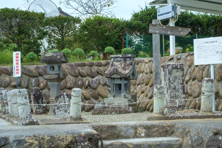
- 08Koarama Bansho Station Ruins
- 0.2km / 7 on foot Minutes
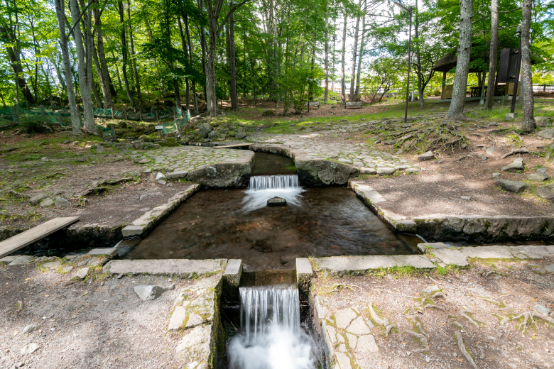
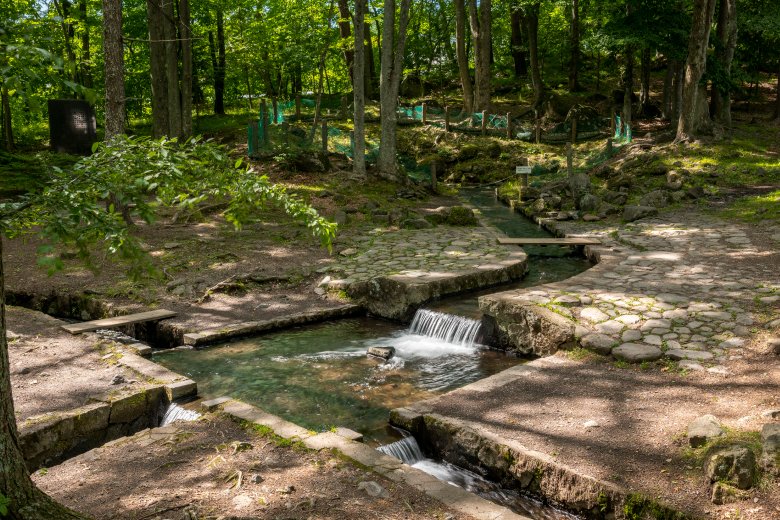
- 09Sanbuichi Spring
- 0.3km / 9 on foot Minutes
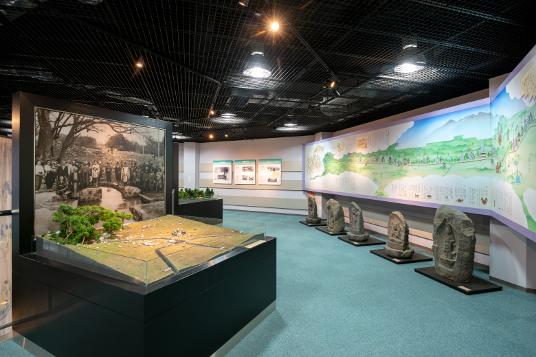
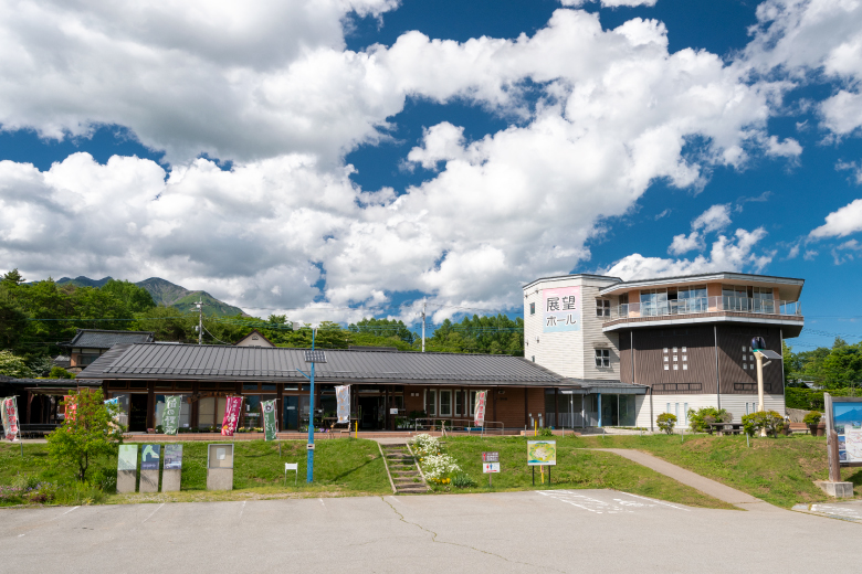
- 10Sanbuichi Spring Museum
- 0.7km / 22 on foot Minutes
- 11Kai Koizumi Station
