Nikkawa River is steep and runs from Daibosatu Pass through the middle of Katsunuma before merging with the Fuefuki River. Torrential in 1907 and 1910 caused significant damage to the Kyoto Area, including Katsunuma. To prevent this in the future, construction on the Nikkawa River groynes were initiated in 1911. It was completed in 1915. The river groynes change the direction of water flow and reduces the rate of flow to protect soil on the riverbanks and embankments from erosion.
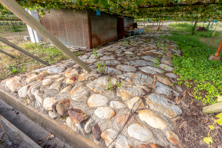
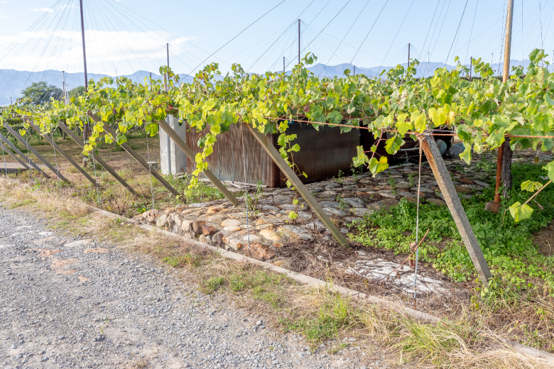
The Nikkawa River groynes were built at right angles to the direction of flow. The 74 groynes were made of natural stones and buried at 3-km intervals. Seen from the above, they are T shaped. After the war, concrete bank protection was installed and the initial features no longer exist; however, parts of the groynes can still be seen in the river and parts resembling stone pavement can still be seen in vineyards on the both sides of the Nikkawa River.
After rice paddies were washed down from the hills by floods, grapes were cultivated because of their high potential as a commercial crop. After completion of river groyne construction, the Nikkawa River has escaped large disasters, and grapes have been increasingly cultivated in the areas around the river using the characteristics of the well-drained gravely sands. The Nikkawa River groynes were certified as Civil Engineering Heritage in Kanto Region in 2008.