Jinya were headquarters of local government administrations during Edo shogunate, including the offices and residences of prefectural governors and direct retainers of individual lords in each territory. In 1746, Tayasu Munetake, the second son of Tokugawa Yoshimune, received lands covering six regions (Kai, Musashi, Shimotsuke, Izumi, Settsu and Harima) that yielded a total of 100,000 koku (15 million kg.) of rice.
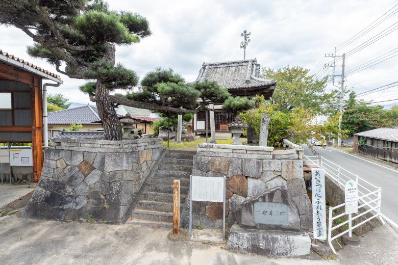
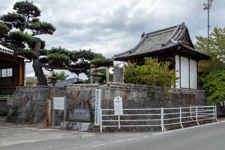
This jinya was established in 1747, and played a central role in managing the territory governed by the Tayasu Clan in the Kai Region until 1870. The Kai Region had 63 villages (28 in Yamanashi County and 35 in Yasshiro County), and initially yielded 34,000 koku (5 million kg.) of rice.
The site of this jinya is designated a historical site of Yamanashi City. It includes part of the moat on the west side, and the Mizukami Inari-jinja Shrine with a guardian deity enshrined atop a stone platform on the northeast side.
COURSE MAP
Where to next?
Visiting Isawa-shuku, where tradition and life grow together with rivers
Isawa-shuku was at a junction of the Kamakura-kaido Road, stretching toward the south, and the road to Ichikawa (Ichikawa-michi) stretching toward the southwest. It also had a landing for access to Fujikawa river transport via the Fuefuki River, and functioned as a key point for transportation in the eastern part of the Koshu Basin. In the Edo Period, when the old Koshu-kaido Road was built, the center of politics and economy shifted to Kofu; however, the Hatta Family Shoin (drawing room) and many other historic buildings remaining from the early Edo Period evoke the atmosphere of the time. Because this area was located on the low land between the Fuefuki River and the Isawa River, it was repeatedly damaged by floods, and covered with earth and sand. The present-day Fuefuki River, which was called the Ukai River before being flooded many times, caused damage to people and changed the town significantly. The Fuefuki River was named after a tragedy caused by a flood. The tragedy and another story related in a Noh song called Ukai, meaning cormorant fishing, are interesting and worth learning about. A walking path along present-day Fuefuki River provides a distant view of a few beautifully formed alluvial fans created by river water flowing into the Kofu Basin, and the channels running through mountain ranges in the surrounding area.
7km / 3h / walk, bicycle