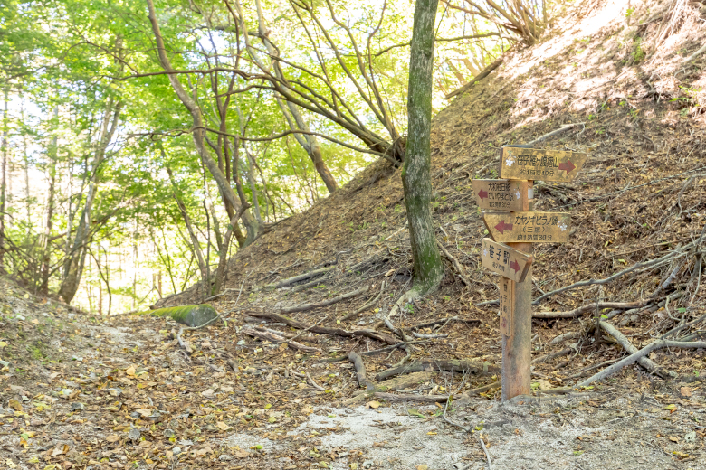
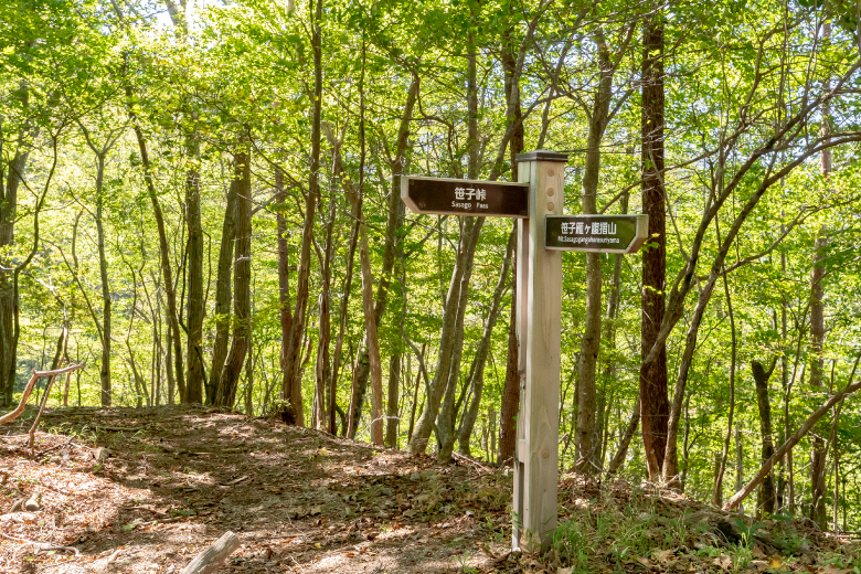
Standing between Kuronoda-shuku and Komakai-juku at 1,096 m above sea level, Sasago Pass is approx. 10 km long with steep ups and downs, known as the most dangerous section on the old Koshu-kaido Road. It was on the border between the Gunnai Region, which included Otsuki and Uenohara, and the Kuninaka Region centering on the Kofu Basin in the Edo Period (1603-1868). It is located on the border between present-day Otsuki City and Koshu City.
The “Record of the Journey on the Koshu Road by Hiroshige” written by ukiyo-e artist Utagawa Hiroshige also contains an entry noting that Sasago Pass is a dangerous, lonely spot on a high mountain. Many books written in the Edo Period described the steepness of Sasago Pass.
The “Record of the Journey on the Koshu Road by Hiroshige” written by ukiyo-e artist Utagawa Hiroshige also contains an entry noting that Sasago Pass is a dangerous, lonely spot on a high mountain. Many books written in the Edo Period described the steepness of Sasago Pass.